
In the world of modern design and development, aerial 3D rendering has become an essential tool for architects, planners, and real estate developers. Unlike traditional renderings that focus on interiors or ground-level perspectives, aerial renders provide a broader and more comprehensive view of entire landscapes, urban developments, and large-scale projects. This elevated perspective allows professionals to showcase designs with accuracy and context, ensuring better planning and decision-making.
What is Aerial 3D Rendering?
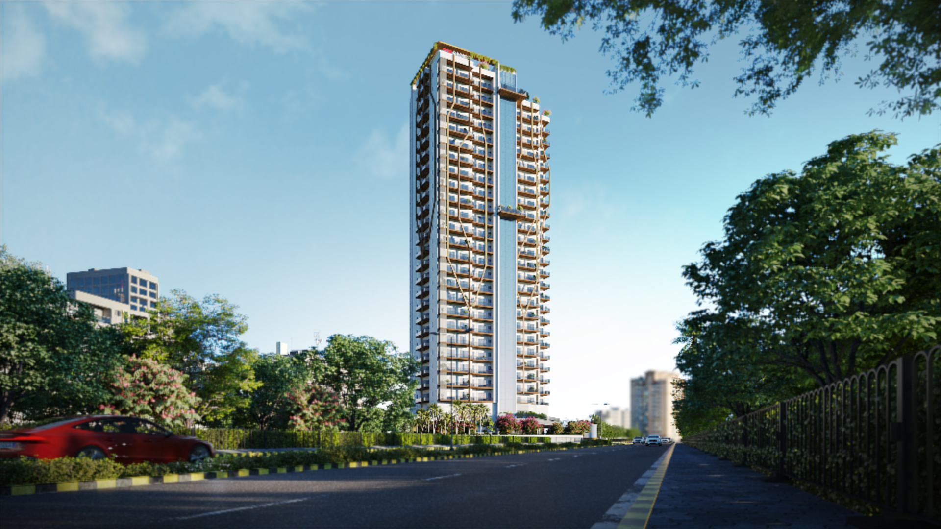
Aerial 3D rendering is the process of creating high-resolution, three-dimensional visualizations from a top-down or bird’s-eye view. It is commonly used for large architectural projects, master plans, and cityscapes where understanding the spatial relationship between structures is crucial.
Professionals in 3D rendering architecture rely on aerial visualization to present projects in realistic settings, integrating existing environments with proposed developments. By combining satellite imagery, drone photography, and advanced rendering techniques, these visualizations offer unparalleled clarity and precision.
Key Benefits of Aerial 3D Rendering
Enhanced Project Presentation: Developers and architects can communicate complex designs effectively to clients and stakeholders, ensuring a clear understanding of layouts and surrounding environments.
Improved Urban Planning: City planners use aerial renderings to assess traffic flow, green spaces, infrastructure placement, and community impact before project execution.
Marketing & Sales Advantages: Real estate companies leverage aerial visuals to showcase properties, demonstrating how they fit into larger developments, scenic landscapes, and accessibility networks.
Accurate Contextual Integration: Aerial rendering enables architects to see how their projects harmonize with natural and urban surroundings, ensuring balanced designs.
Strategic Decision-Making: Builders can anticipate challenges such as terrain, elevation, and neighboring structures by analyzing aerial perspectives before construction begins.
Aerial 3D Rendering in Architecture & Interior Design
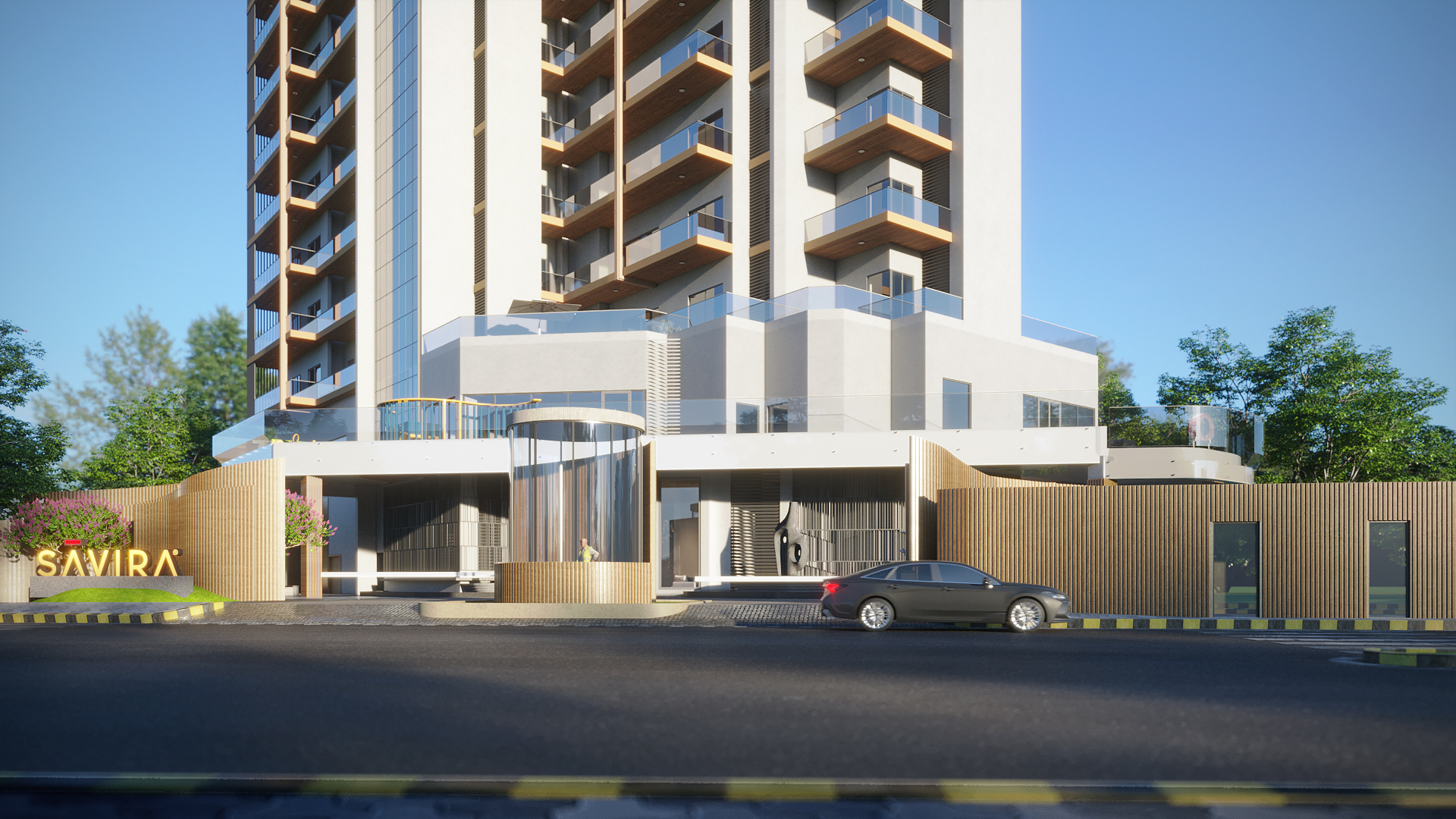
While aerial views are commonly associated with large-scale architectural visualization, they also hold immense value in 3D rendering interior design. Interior designers working on luxury estates, resorts, or commercial spaces can use aerial perspectives to ensure that buildings complement their landscapes.
For example, a high-end hotel might use aerial rendering to showcase its pool areas, outdoor lounges, and connectivity with the surrounding environment. Similarly, interior designers working on residential projects can use aerial perspectives to align interiors with external surroundings, optimizing natural light flow and spatial relationships.
The Role of Squarei 3D in Aerial Visualization
As industry demand for high-quality aerial 3D rendering continues to grow, companies like Squarei 3D provide cutting-edge solutions that bring designs to life with stunning accuracy. Their expertise in architectural and interior visualization ensures that projects are represented with precision, creating immersive experiences that captivate clients and stakeholders alike.
The Future of Aerial Rendering
The future of aerial 3D visualization is intertwined with advancements in AI, drone technology, and virtual reality. As developers integrate real-time rendering techniques and interactive mapping, architectural presentations will evolve to be more dynamic and engaging. With tools becoming more accessible, aerial rendering will shape the next generation of design communication, making visionary projects a reality.
.png)
.png)